
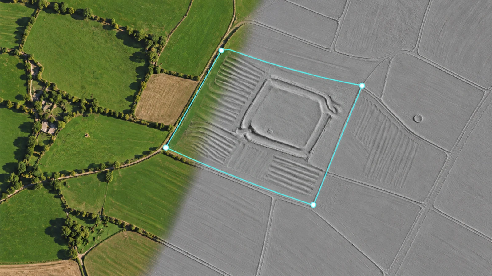
A new perspective on the landscape
Some of the most interesting details in a landscape are easy to miss in an ordinary aerial view. LiDAR terrain imagery helps make subtle changes in the ground easier to read, including earthworks, old boundaries and differences in elevation.
DetectBuddy brings this terrain imagery into Planning and Recording, so you can explore it alongside the rest of your detecting journey. It is a map layer built from existing survey data; it does not scan the ground with your phone or locate buried metal.
Try the terrain layer here
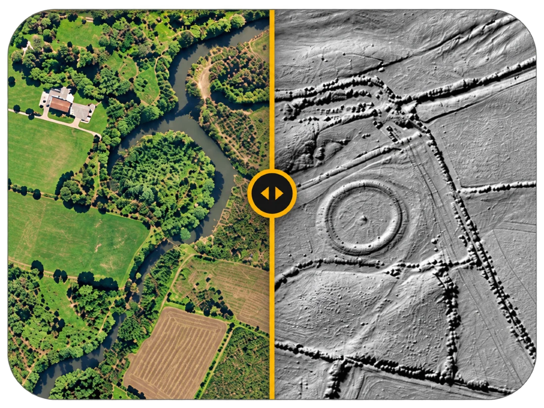
Move the slider to reveal a shallow enclosure and ridge-and-furrow traces in an illustrative bare-earth terrain view.
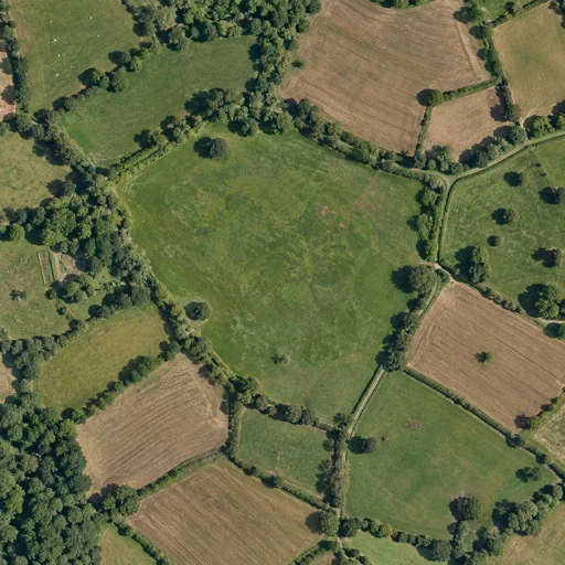
 SATELLITE + LIDAR
Illustrative example adapted from bundled app imagery. This is not a live map or a coverage checker.
Use LiDAR in the app
- Open Planning or start a Recording. Move the map to the area you want to explore.
- Look for the LiDAR control. In a covered area, tap it to switch the terrain layer on. If prompted, start your eligible preview or view Pro options.
- Blend the view. Swipe vertically on the LiDAR control to adjust opacity. Lower opacity keeps more of the underlying map visible; higher opacity brings the terrain forward.
- Choose a source if needed. Automatic mode selects the source for the map location. You can also choose an available source manually in map settings.
- Switch the layer off when you want. Your map remains available for planning or recording.
Coverage and access
LiDAR terrain is available in England and supported areas of the United States. It is not a worldwide layer, and coverage varies within those areas. The app uses the Environment Agency source for England and USGS for supported US areas.
LiDAR is included with DetectBuddy Pro. Eligible users have one five-minute preview; it is not a recurring allowance. The app shows availability and preview status for your location and access. LiDAR access is supported for UK and US App Store storefronts.
If the control reports that LiDAR is unavailable, check the area you are viewing. If imagery cannot load, check your connection and use the app’s retry action. The coverage check itself uses data bundled with the app.
Your saved records stay private
When you enable LiDAR, imagery is requested directly from the relevant map provider. The requested map area and ordinary connection information, including your IP address, may be visible to that provider. DetectBuddy does not upload your saved finds or recorded routes to them.
Read the Privacy Policy for the full explanation of map imagery, location and local storage.